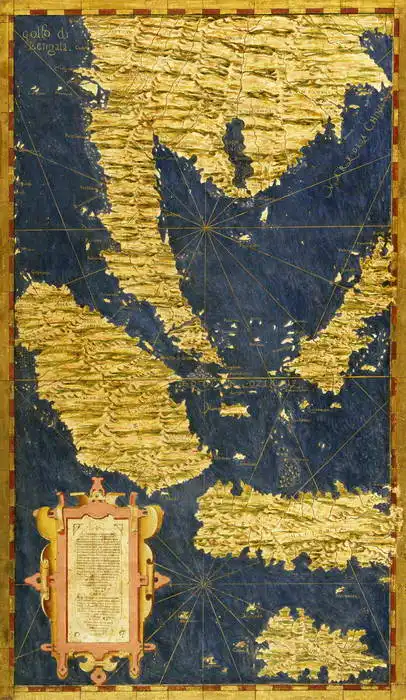
L'image est une carte ancienne montrant la région méditerranéenne avec les parties adjacentes de l'Europe et de l'Afrique. La carte présente un relief doré pour montrer les zones montagneuses et les zones maritimes bleues. Elle montre les lignes de navigation et les lignes de compas. Au centre se trouve un cartouche décoratif avec le texte.
Créé par l'intelligence artificielle, veuillez faire preuve d'indulgence.
Prevailing color of this fine art print is bleu and its shape is portrait. This image is printed on demand - you can choose material, size and finishing.
Egnazio Danti (1536-1586) Born to a wealthy family in Italy. He learned the basics of painting from his father, and later his aunt developed his talent. In 1555, he joined the Dominicans, where he devoted himself to not only philosophy and theology, but also to mathematics, astronomy and geography. As a scholar, he devoted himself to painting maps and map works. For four years, he also participated in the work on the large Guardaroba Globe. He also devoted himself to architecture. For example, he provided plans to build a church and monastery in Bosco Marengo in Piedmont. He designed an architectural element that allowed a narrow beam of light to enter the church at noon.
Trusted by our customers. Our customers have been satisfied with us for a long time. We appreciate it and thank you for your trust. You can find more reviews and details of our service ratings on Trustpilot.com.




 776 273 496
