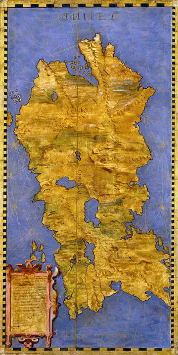
La imagen muestra un mapa histórico, probablemente realizado durante el Renacimiento. El mapa muestra una zona marítima, posiblemente partes del Mediterráneo o del mar Egeo, con dibujos detallados de costas e islas. La masa continental principal parece una evocación artísticamente estilizada de un continente o país famoso. Los bordes del mapa son decorativos, con una franja dorada y motivos, lo que sugiere que el mapa estaba destinado a fines decorativos o como obra para la nobleza o los eruditos. En la esquina inferior izquierda hay un recuadro de textura que puede contener información sobre el mapa, como comentarios o explicaciones.
Creado por inteligencia artificial, por favor, sea indulgente.
Prevailing color of this fine art print is azul and its shape is alto. This image is printed on demand - you can choose material, size and finishing.
Egnazio Danti (1536-1586) Born to a wealthy family in Italy. He learned the basics of painting from his father, and later his aunt developed his talent. In 1555, he joined the Dominicans, where he devoted himself to not only philosophy and theology, but also to mathematics, astronomy and geography. As a scholar, he devoted himself to painting maps and map works. For four years, he also participated in the work on the large Guardaroba Globe. He also devoted himself to architecture. For example, he provided plans to build a church and monastery in Bosco Marengo in Piedmont. He designed an architectural element that allowed a narrow beam of light to enter the church at noon.
Trusted by our customers. Our customers have been satisfied with us for a long time. We appreciate it and thank you for your trust. You can find more reviews and details of our service ratings on Trustpilot.com.




 776 273 496
